

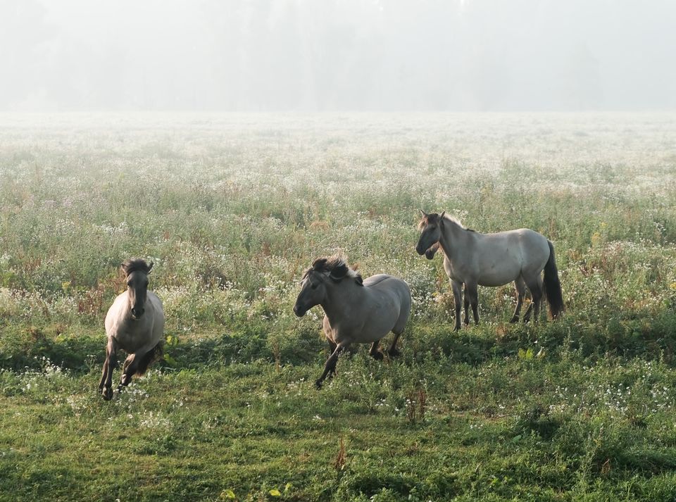
The swelling sound of hoofbeats. I prick up my ears and peer at the horizon, at where the sound is coming from. Large dust clouds appear there. I don't believe my eyes. It looks like the Wild West. "Horses have broken loose. We have to call the farmer!", Brechje shouts. "And they're coming our way, take cover," I squeak distressedly, meanwhile shuffling backwards towards my car.
Its secrets unravelled - The Nieuwe Hollandse Waterlinie
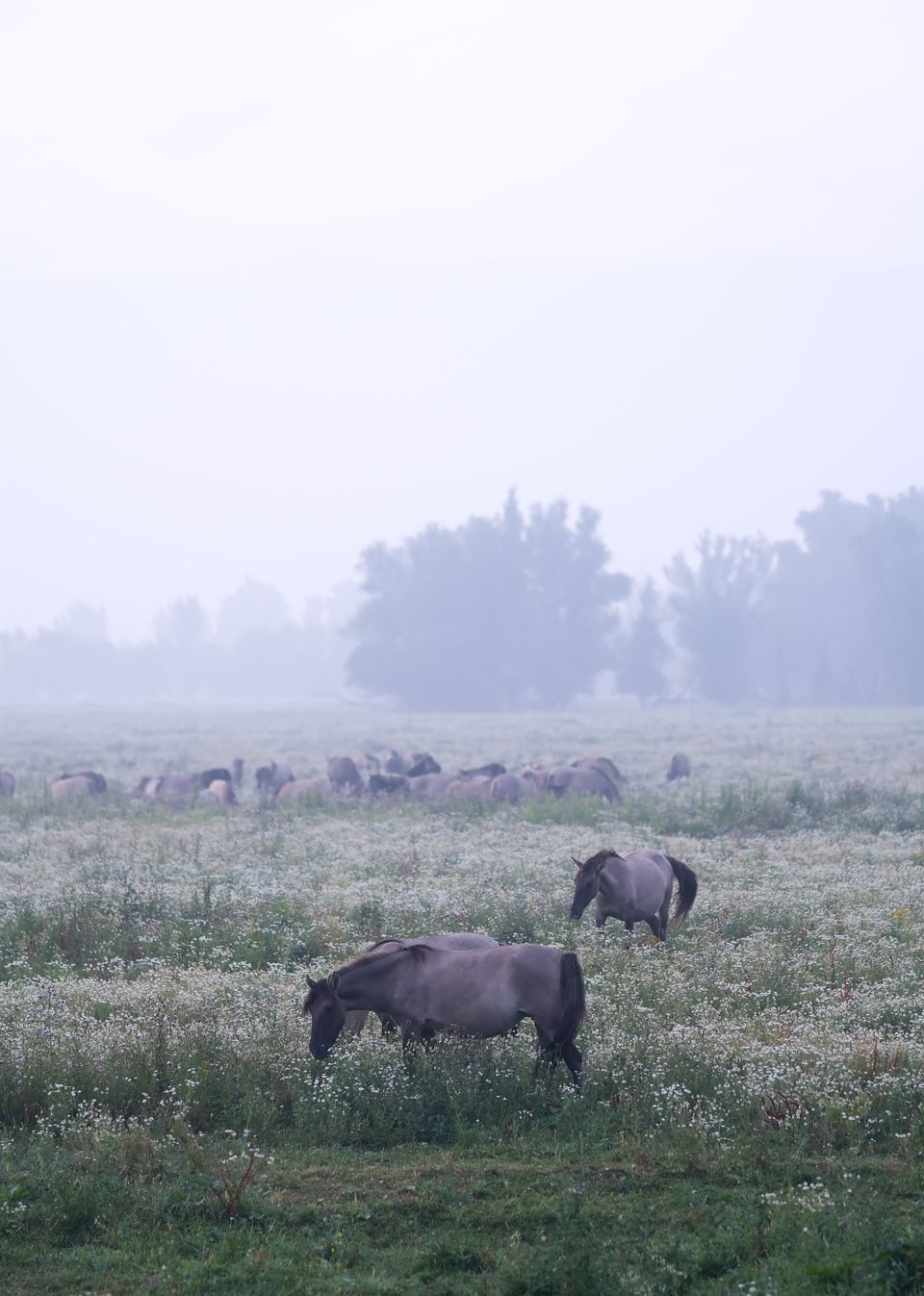
To my relief, the herd of wild horses deflects just in front of me and gallops across the road away from us. "What was that?", Brechje and I look at each other dumbfounded. Slowly the penny drops: we were witnessing runaway squabbling Koniks, who live wild here in Munnikenland. We laugh at our initial inanity and continue on our way to the accommodation for the night, Slot Loevestein. A little further on, the herd reappears. The horses are now stoically and peacefully grazing side by side as if nothing had just happened.
Honeyguide Brechje and I set off for two days to discover a special and unknown part of the Netherlands: the Nieuwe Hollandse Waterlinie. An adventurous trip along our country's largest national monument, nominated as a Unesco World Heritage Site.
Earlier that day, we started halfway down the line, about 20 kilometres below Utrecht, at the teahouse of Fort Werk on the Korte Uitweg on the Eiland van Schalkwijk. Tomorrow, we will end our trip in the southern part, at the fortified towns of Woudrichem and Gorinchem on the border of the provinces of Utrecht, North Brabant and South Holland.
A masterpiece - 85 kilometres of defence line
"The Nieuwe Hollandse Waterlinie is a real masterpiece, an ingenious structure that we as Dutch people can be proud of," Susanne Pieren of Utrecht Marketing tells us. The defence line is 85 kilometres long, includes forts, fortresses and castles and runs from Muiden to the Biesbosch.
In the 19th century and the first half of the 20th century, soldiers flooded land during wartime, making it impassable to the enemy. The system of dykes, canals, forts and bunkers is hard to see in peacetime.
Therein lies the secret of the Nieuwe Hollandse Waterlinie: it is there but you don't see it! It is up to us to unravel the secret of the line and explore this unique area of hidden gems.
Serious defence trump - Island of Schalkwijk and Fort Honswijk
Back to the start of our two-day trip along the Nieuwe Hollandse Waterlinie. From Fort Werk on Korte Uitweg in Tull en 't Waal, we set off. We soon discover that Eiland van Schalkwijk, in an area of just a few square kilometres, has no fewer than four forts, of which Fort Honswijk, built between 1841 and 1848, is the largest and most imposing.
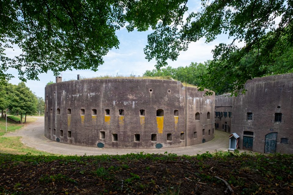
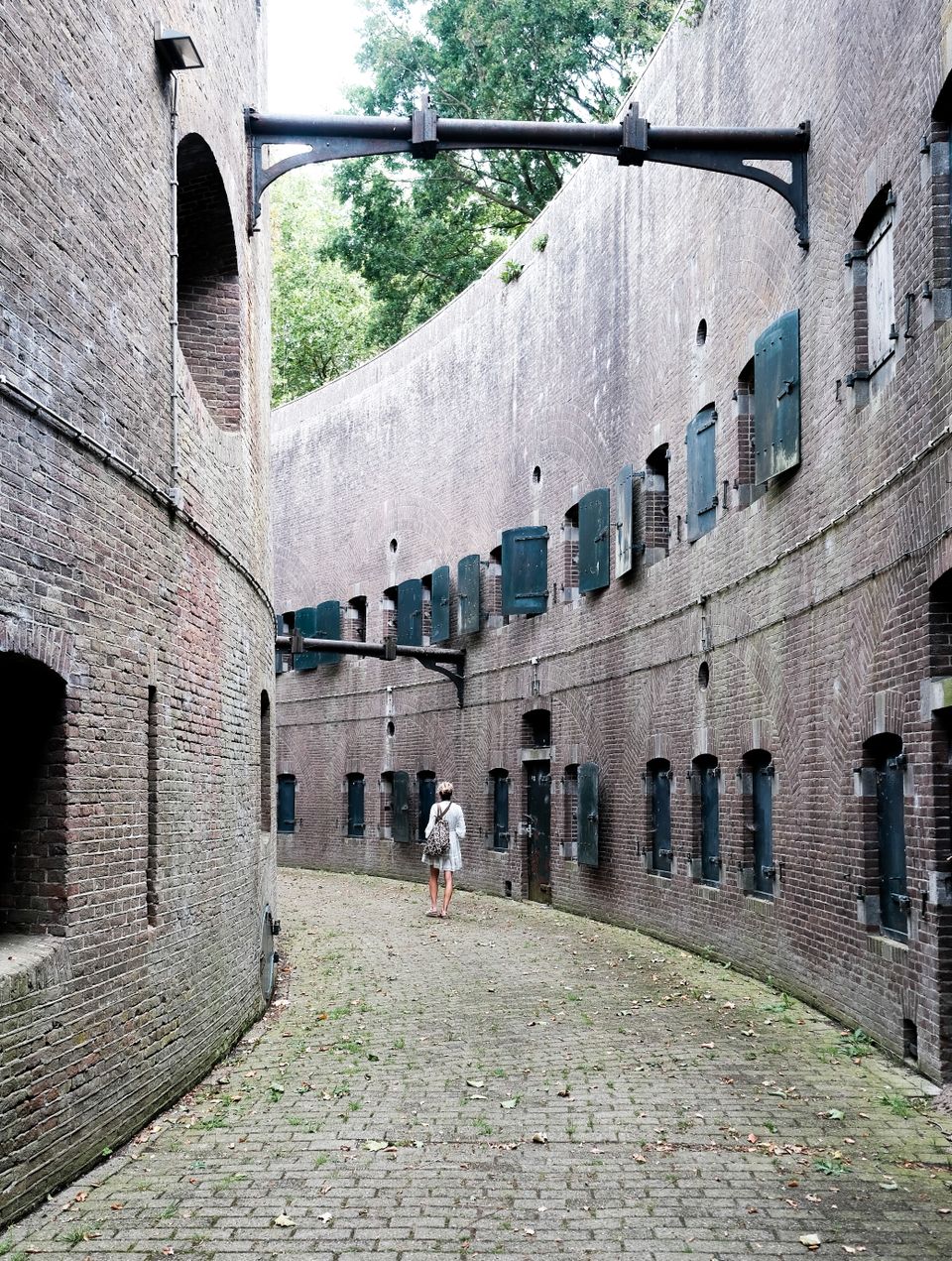
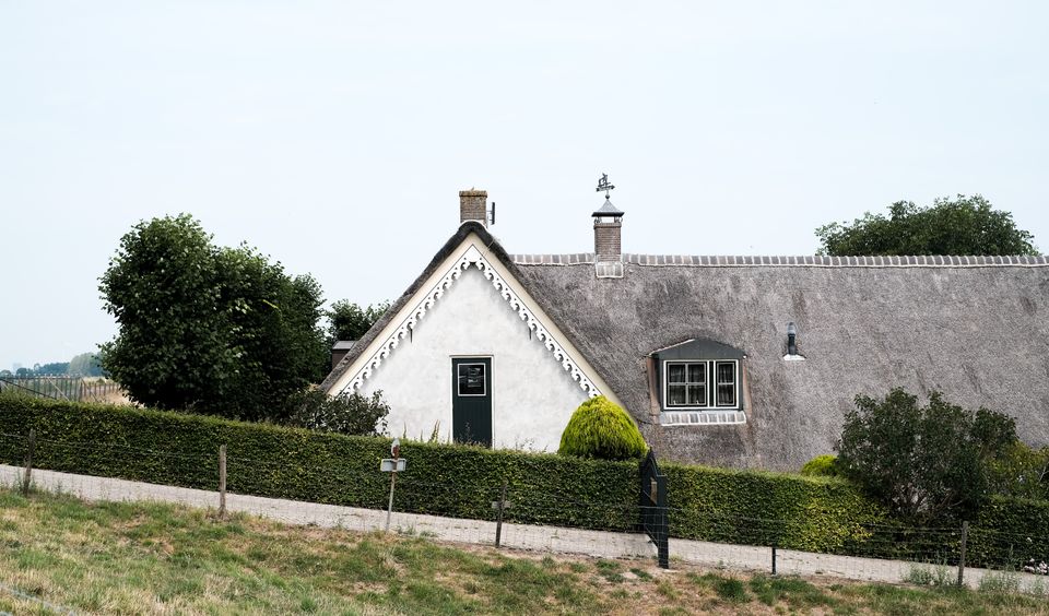
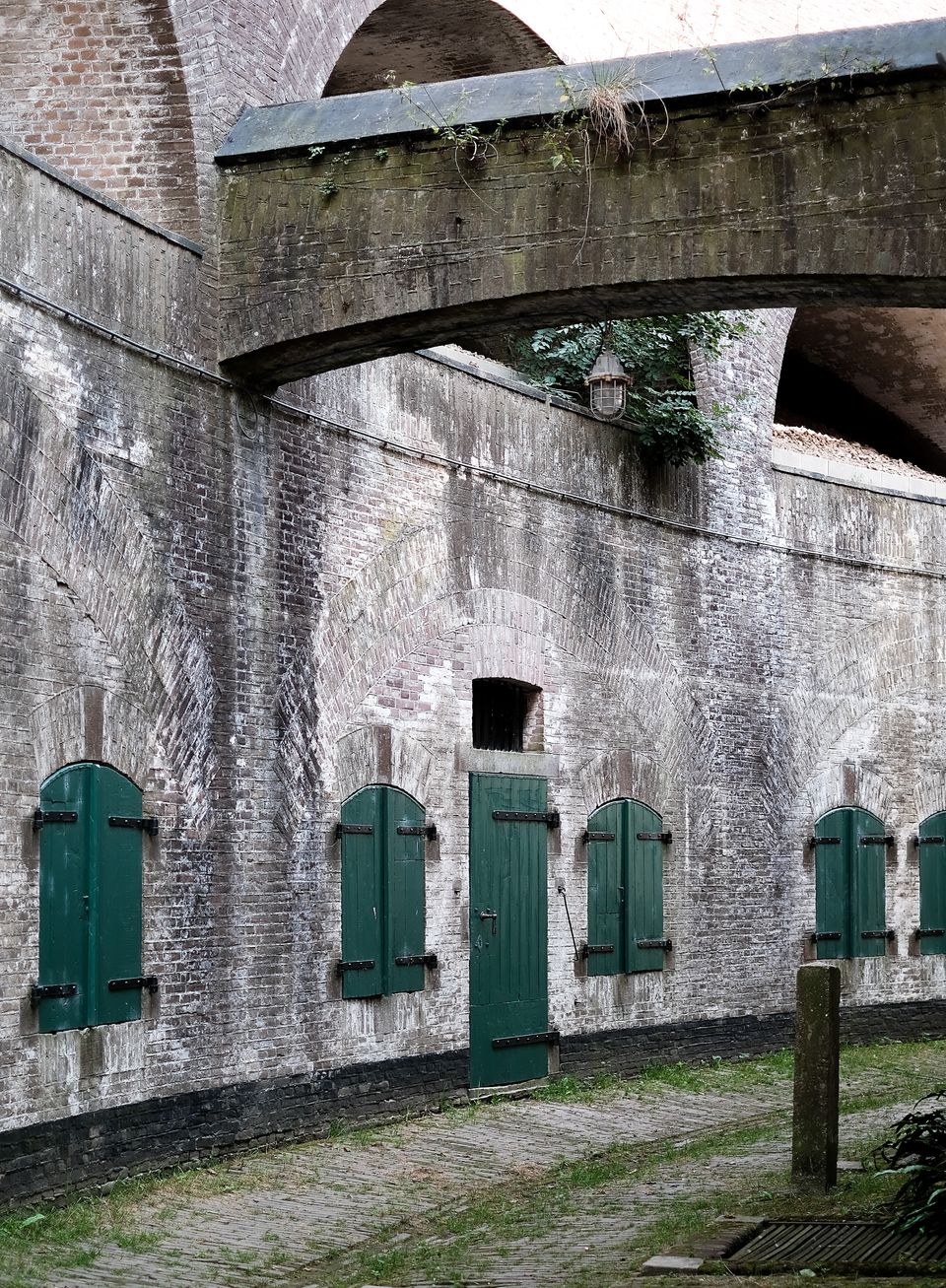
Apart from two swans apparently floating motionless in the canal, there is no sign of life on this sweltering hot summer day. The fortress is therefore hidden in the landscape, obscured from view by a fort rampart with trees and shrubs. You have to know how to find this architecturally outstanding spot, iconic of the New Dutch Waterline. The silent walls of the three-storey tower fortress are weathered but also robust.
It takes little effort to remember that this fortress was a serious defence trump card against the enemy: it had to prevent passage over the Lekdijk and, in cooperation with Fort Everdingen on the other side of the river, seal off the Lek.
Now this place may be an oasis of calm, but we read that the street between the inner canal bank and the tower was jokingly called Kalverstraat by the soldiers. A strong piece of soldier humour to endure the Spartan and packed accommodation.
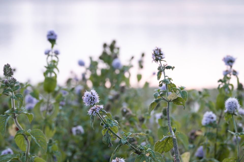
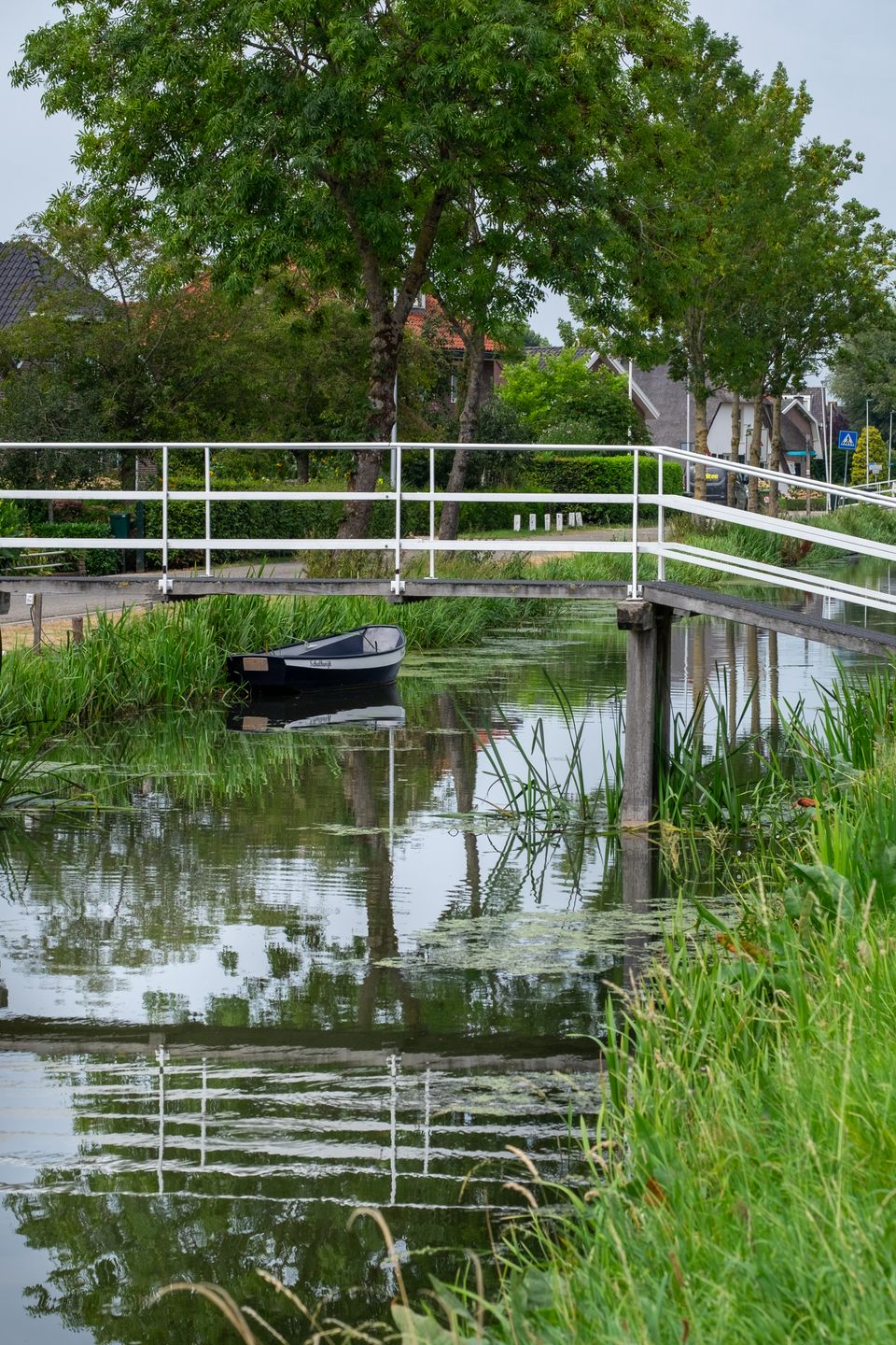
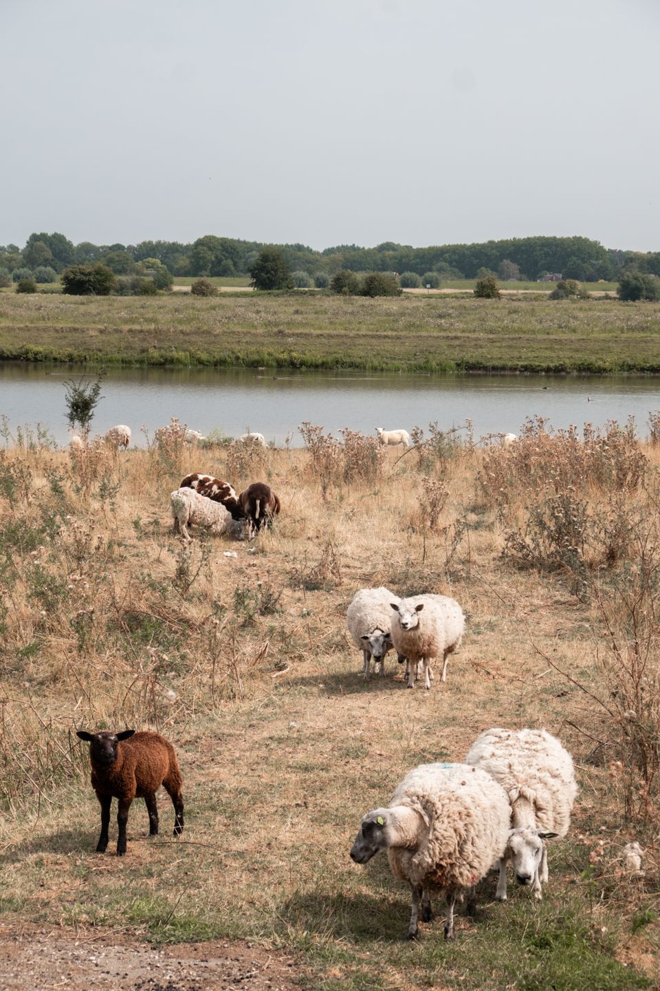
The 'neighbouring fort', Lunet aan de Snel, is much less impressive, but from its grassy roof it offers a beautiful view of the landscape of the Eiland van Schalkwijk, with the Lek and its floodplains, casemates, sheep, goats and a lone cyclist. From this spot, we get a picture of how vast the inundation, the deliberate flooding of the area as a defence against the enemy, must have looked.
Walking on water - The Drowned Forest
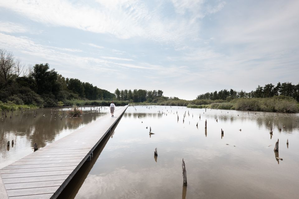
The second minimally hidden pearl on our way is the mysterious Drowned Forest, which to our surprise we had never heard of before. A mangrove-like forest that has been (re)designed as water storage, meant to hold water when there is too much rainfall.
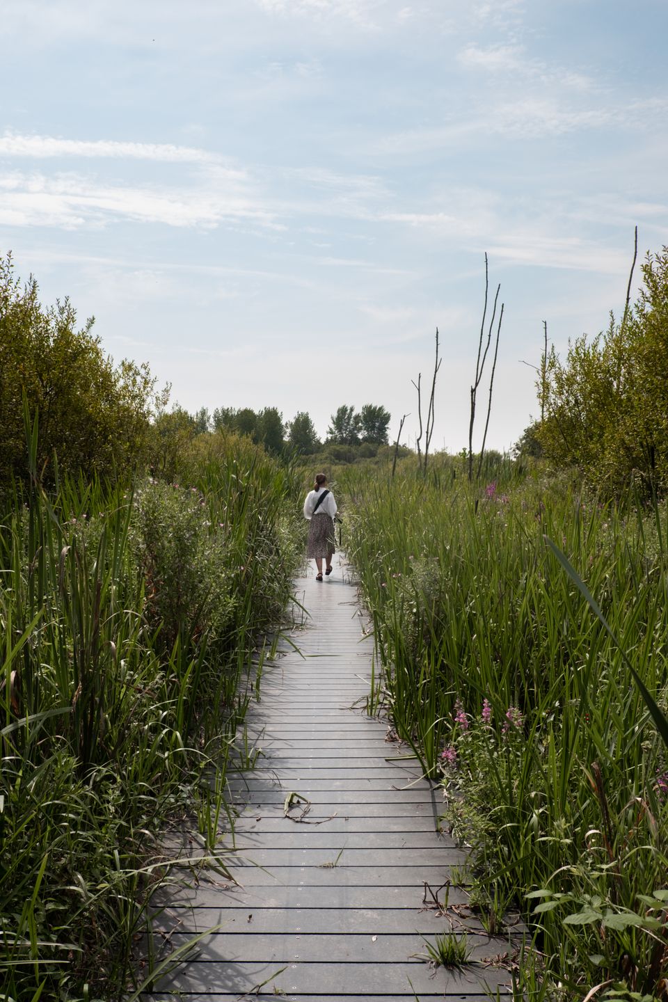
We find it when we follow a plank path between metres-high rustling reeds in the farmlands near Schalkwijk. Once in a clearing, a pool unfolds before our eyes with broken-off tops of trees rising above the water's surface in a random pattern. The decking path zigzags across it. Here you can 'walk on water'.
We learn that the trees that originally stood there could not withstand high water levels, so they died off and only broken-off trunks remained. The drowned forest begins to look less and less like a forest for the same reason.
As time goes by, the stumps of the trees get shorter and shorter and in a few years' time there will only be a puddle left. So we are just in time to take in this photogenic spot in complete silence and resolve to return sometime during morning fog.
For sale because of peace - Fort Everdingen
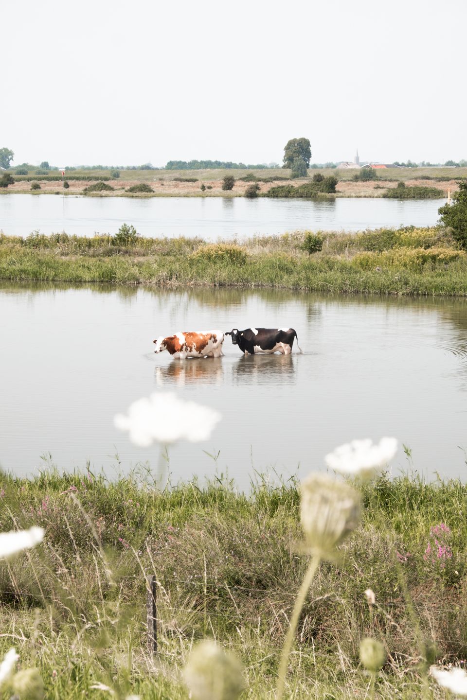
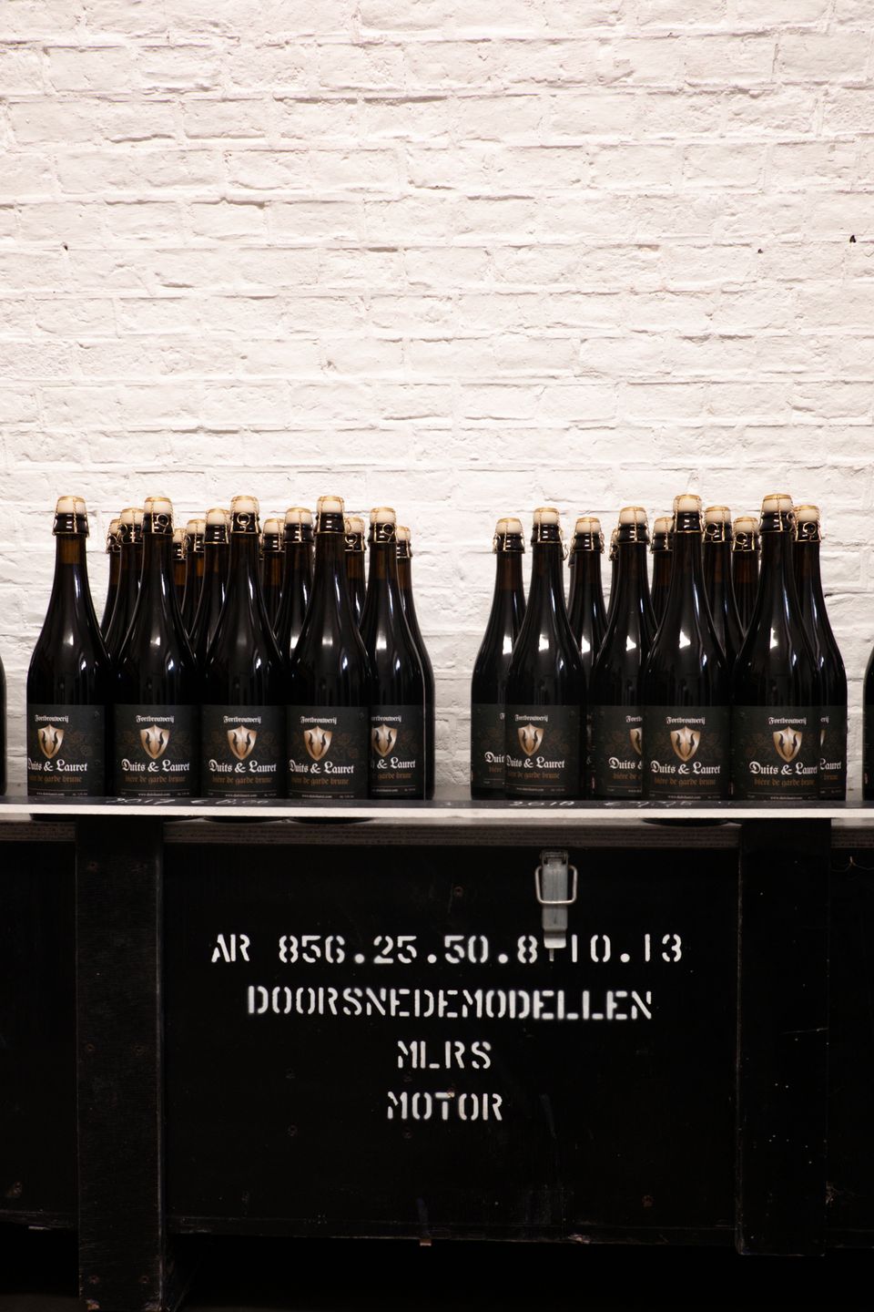
On the other side of the river Lek, after a ferry crossing to Culemborg, a refreshing ice cream on the bank, and a picturesque ride over dikes and along a watery landscape with wading cows, we reach Fort Everdingen. A fine example of cultural heritage that has been given a new function, that of a brewery. Where the artillery shed formerly housed now stands the brewery installation.
The tasting room used to be the army's classroom and the sanitary facilities are in the former firing bunker. The fort tower houses a day care centre that puts people distanced from the labour market to work doing all kinds of odd jobs, thus helping them increase their self-confidence.
Fort Everdingen is located on the border of Gelderland and Utrecht. "We brew in Utrecht and pee in Gelderland," jokes Marco Lauret, who bought the dilapidated fortress, which was up for sale because of peace, with Daniëlle Duits. "Via the roof of the contrescarp (the gallery around the tower), rainwater is filtered and drips via kettles into a water basin underground over a three-month period. In the past, this water was used as drinking water for the men. Now it serves as a source for the sustainable brewing of our dark "German & Lauret" beer. The cool storage conditions in the fortress are ideal for this purpose."
The fort tower is the eye-catcher of the brewery and has been preserved in its old state as much as possible. Marco shows us around and tells us about the men, some 500 bored soldiers, who stayed in the tower in harsh conditions. The soldiers slept in space-saving hammock constructions attached to the walls and one above the other. The four of them toileted, shoulder to shoulder, in a cubicle with no privacy.
Nowadays, bats live here instead of soldiers. The rare blackstem fern and lichen grow against the walls and jackdaws squawk on the first floor. They find it more pleasant to live here than the former military residents.
Where Maas and Waal meet - Loevestein Castle and Munnikenland
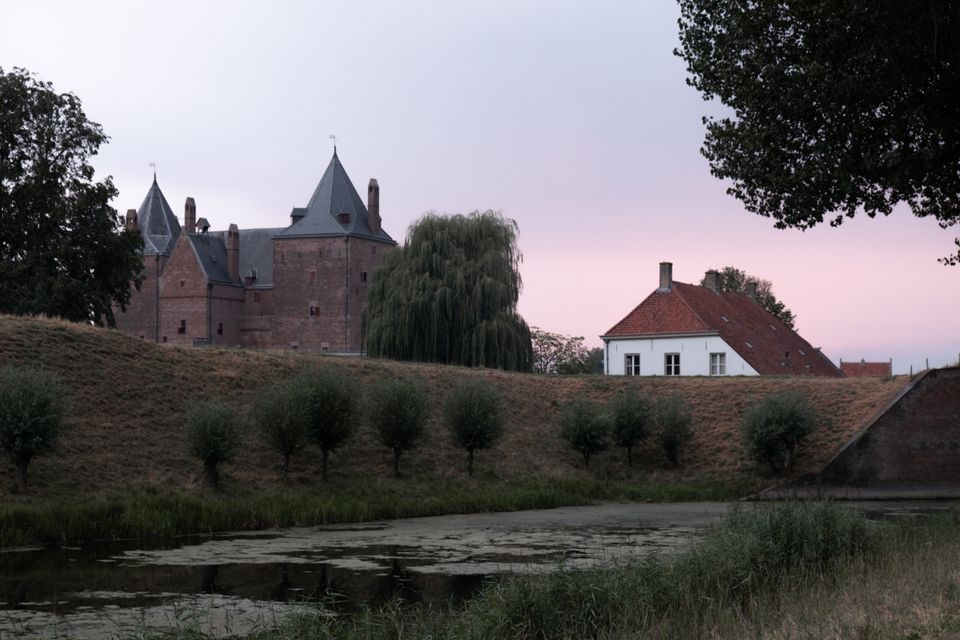
We descend further along the Nieuwe Hollandse Waterlinie to the south, to where Maas and Waal meet. At this strategic spot stands Loevestein Castle, where we will immerse ourselves in historical atmosphere and spend the night in prince charming. After the extraordinary encounter with the herd of Konik horses, which caused quite a stir with us, we catch our breath there. We are practically the only guests.
From our hotel room window we look out on an atmospherically lit lock. What a privilege to get the key to the lock and be able to lay our heads to rest in this historic place 'in the middle of nowhere'.
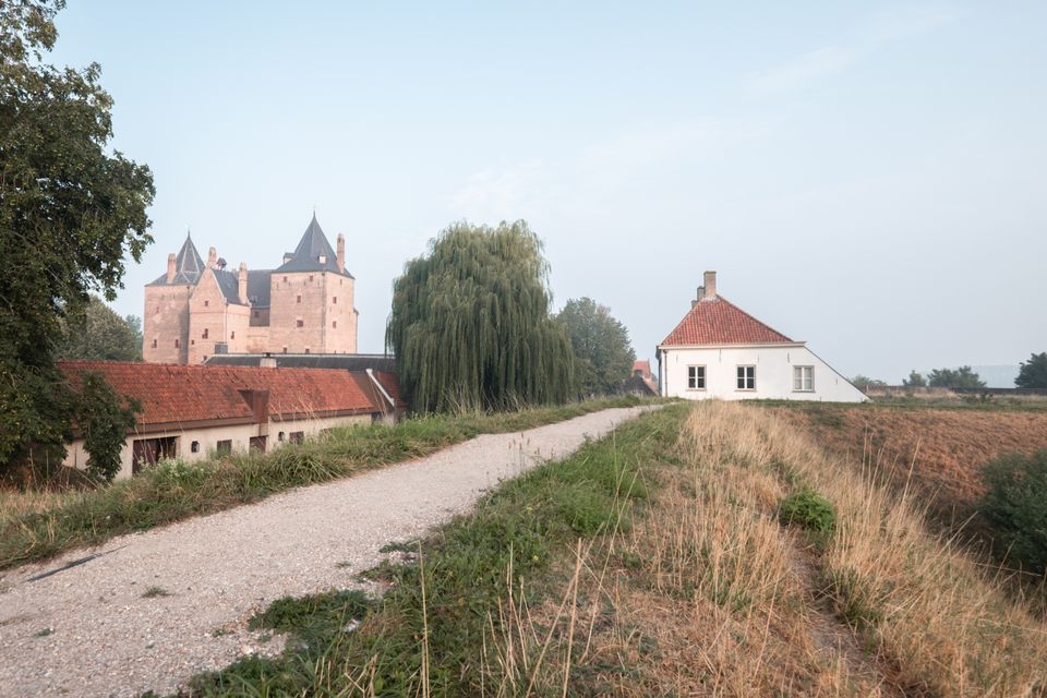
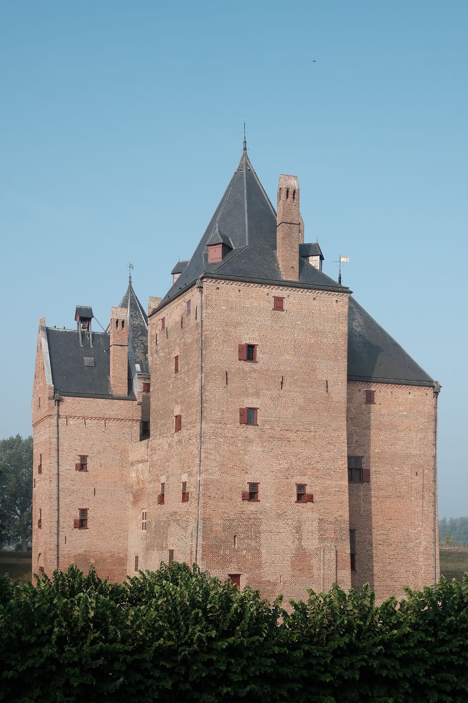
Around sunrise the next morning, we marvel at the views from the castle rampart over Munnikenland. Patches of mist hang around the castle. Red Geuzen cattle trudge past in polonaise on the banks of the moat. At our feet, sheep graze on the rampart. Konik stallions fight a dispute with flapping manes. Geese fly over in v-formation while yawning. This is without a doubt one of the most enchanting and undiscovered places in the Netherlands, where you can escape the hustle and bustle and worries of everyday life.
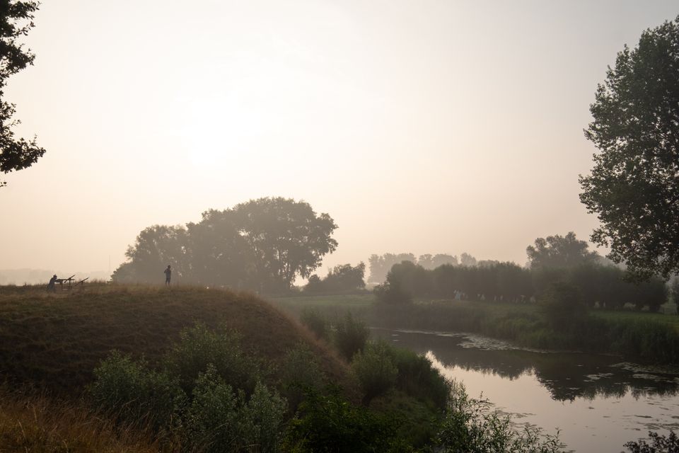
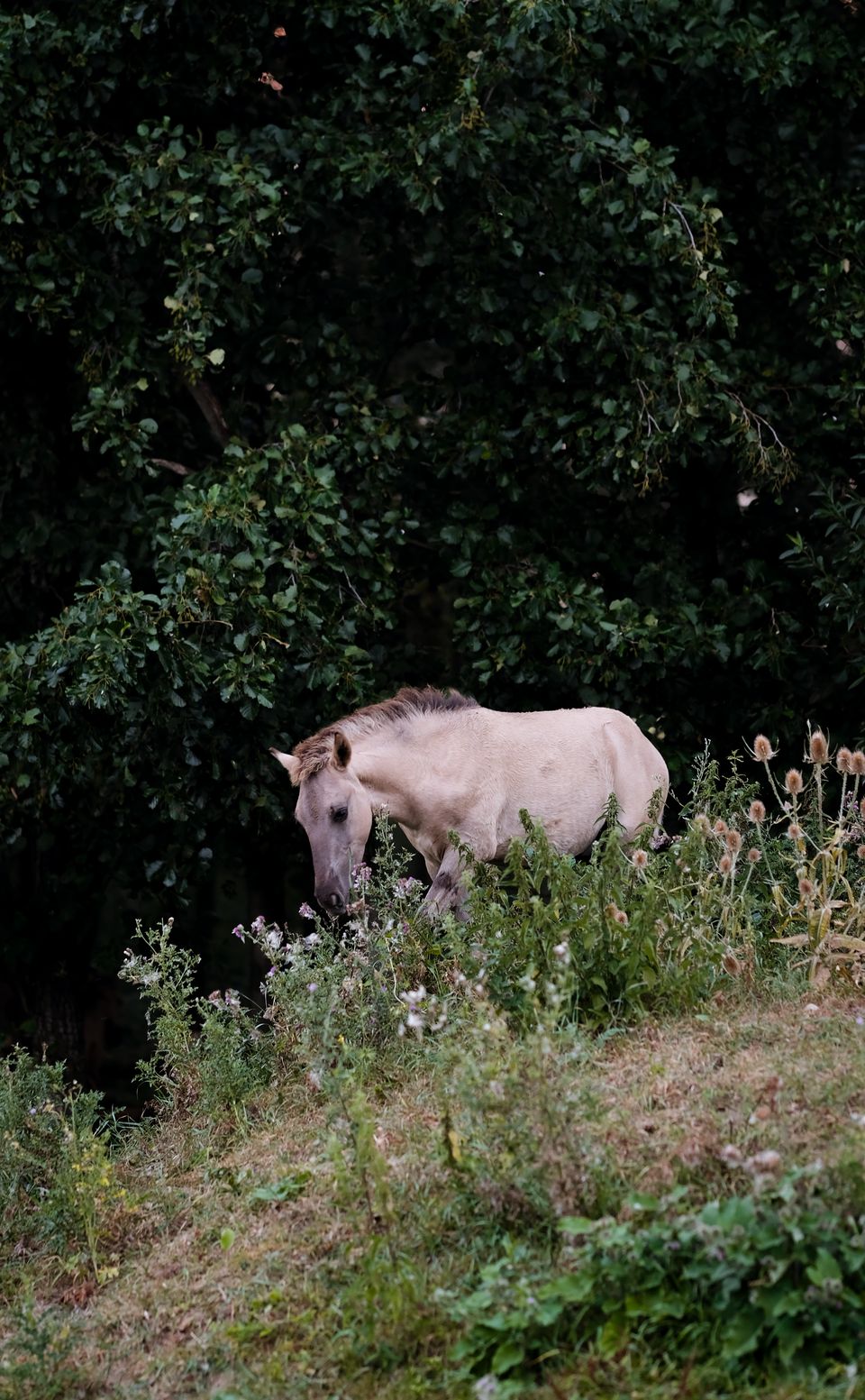
This is also the opinion of Renate Vos, who together with her partner Tim Schrijver embarked on the adventure of managing the castle: "When we ourselves have been away for a short break and return to the castle, we are stunned every time by the beauty of the surroundings. You don't get used to that." She continues: "By now, we do get used to the fact that we no longer live in the city but in the countryside. That took some time and led to some hilarious moments.
In the beginning, it took me an hour and a half to find my way home after a sports lesson because my navigation system invariably sent me over water. And I asked the skipper of a ferry on which I ended up as a real city girl if I could pay by credit card. I also searched fruitlessly for an herb like coriander. The shops around here simply don't sell it. That's why we now grow it ourselves."
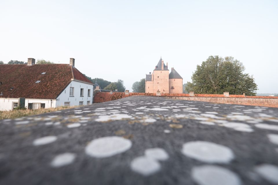
When I ask her what her favourite spot at the castle is, she replies: "One of my favourite spots is on top of the entrance bridge, from where you have a view of the soldier's cottages in the courtyard, the imposing chestnut tree, the castle and the wide surroundings". Considering the number of photos I took myself from that point, I can only agree.
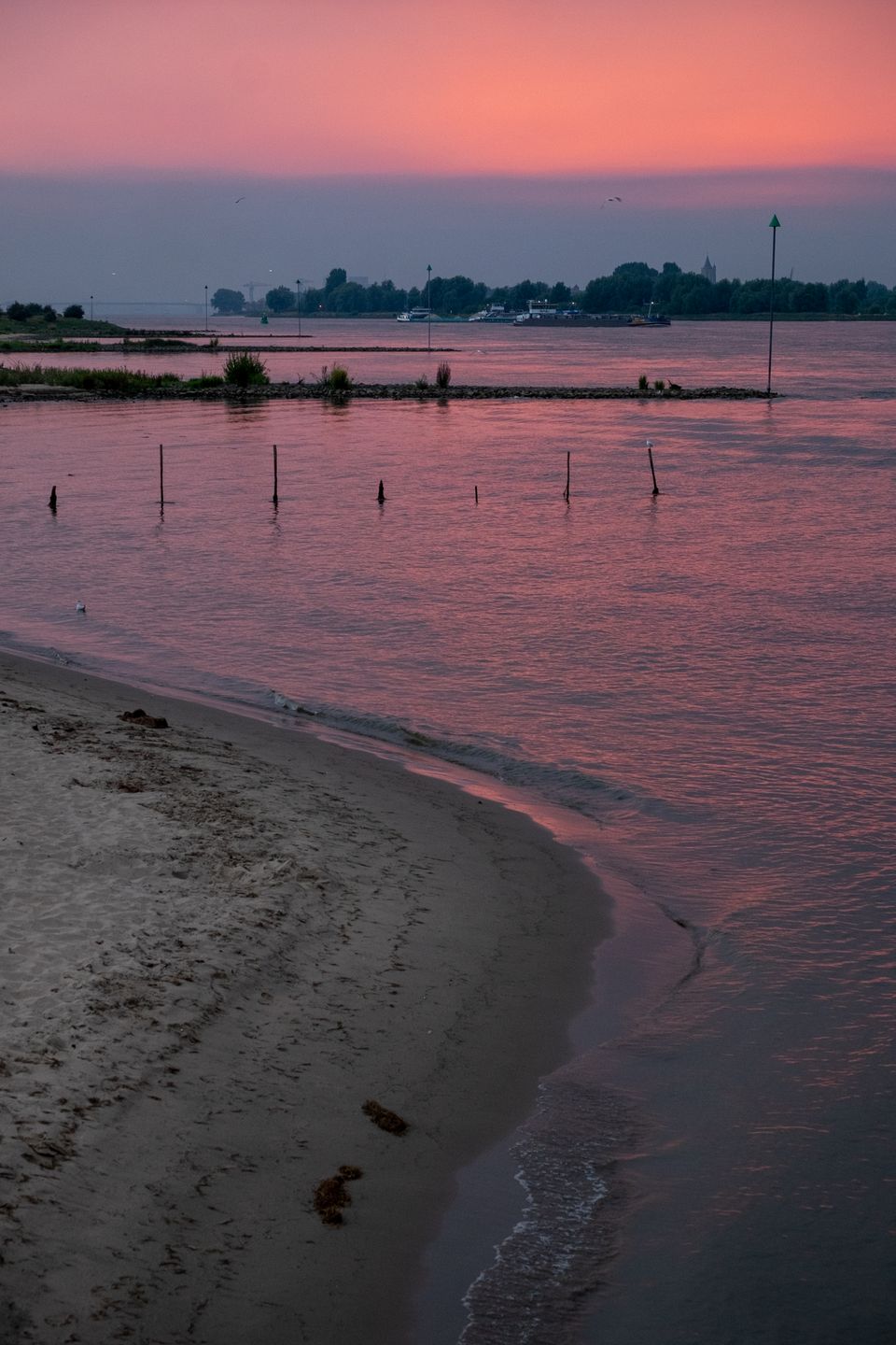
When we leave the castle and Munnikenland, the horses and cattle are standing gingerly in the middle of the only exit road. But I know: this is their home, I am a guest, I have to adapt. When, in my eyes, a bull approaches my car rather menacingly, for a moment it seems as if I have ended up in a broadcast of 'Ter Land, Ter Zee en In de Lucht', because I feel compelled to drive backwards quite a distance to give this impressive little man some space. Anyone who claims there is nothing to do in the Netherlands is wrong, as far as I am concerned.
Woudrichem and Gorinchem - Small but nice
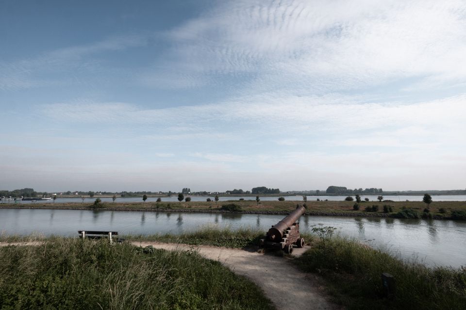
Small but beautiful, 20 minutes' drive from Loevestein, we find the fortified town of Woudrichem (pronounced 'Woerkum') on the Merwede with the contours of its bigger sister Gorinchem (pronounced 'Gorkum'), also a fortified town with the characteristic star shape, on the other side. A traditional fishing boat, recalling the flourishing salmon fishery that Woudrichem knew, sails by as we take in the view from behind a canon.
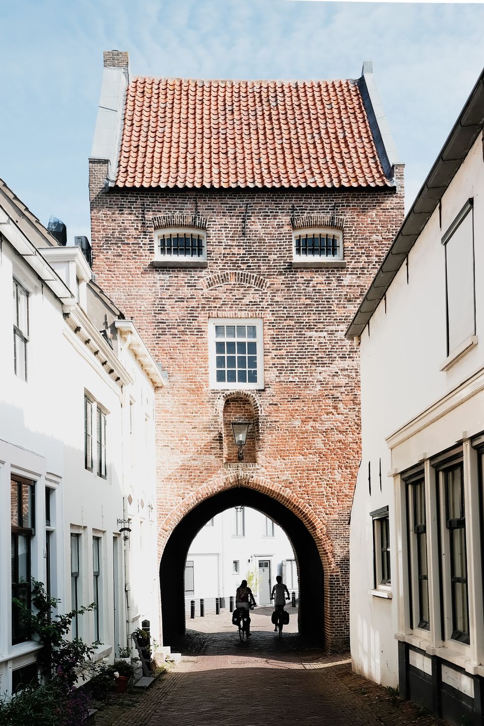
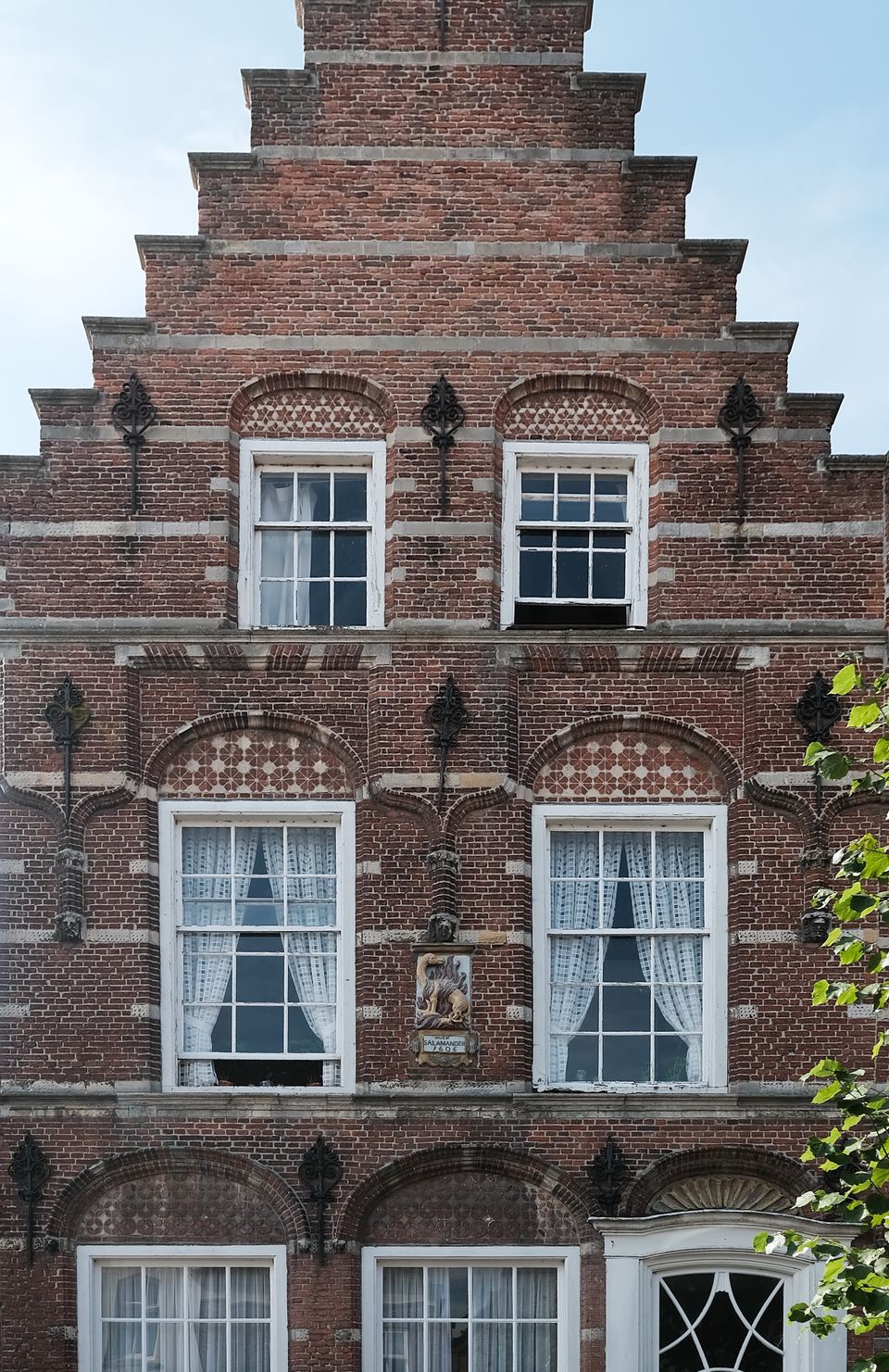
Inside the fortress walls, we inspect the old part with the main street and the Gevangenpoort, which served as a prison in the 19th century. Woudrichem's historic centre is well preserved, so it is not difficult to imagine ourselves a few centuries back in time. All we have to do is imagine the cars parked here and there in front of the many stepped gables.
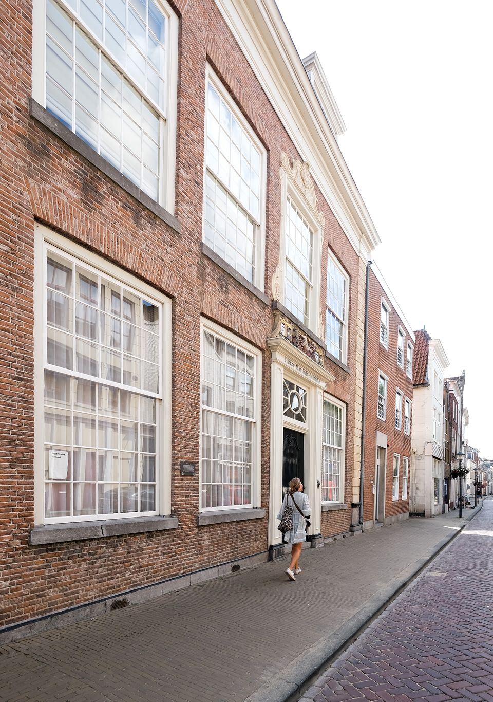
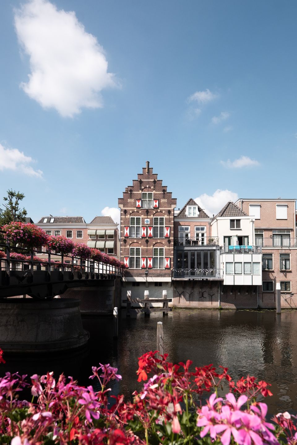
With a visit to Gorinchem, we conclude our two-day route along the Nieuwe Hollandse Waterlinie. It is the largest fortified town where the city walls are still complete and, to our surprise, has a vibrant city centre. We stroll along the flowery Lingehaven and through alleys with coloured buildings.
When I leave Gorinchem and see the ramparts reflected in my rear-view mirror, I conclude that you really don't have to travel far for a special trail along cultural heritage and overwhelming moments in nature. And that the Nieuwe Hollandse Waterlinie was not only a secret weapon for the enemy of old, but still keeps many secrets for us and many a countryman today.
Love,
Simone